Detailed explanation of the painting of Battle of Blaauwberg 1806
DESCRIPTION OF THE PAINTING SHOWING THE BATTLE OF BLAAUWBERG
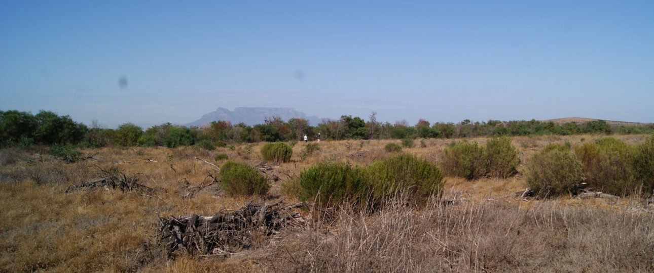

Detailed explanation of the painting of Battle of Blaauwberg 1806
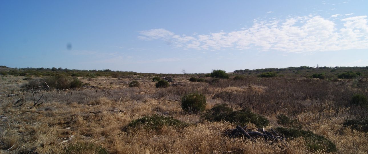
Old Groenkloof road through the Blaauwberg battlefield.
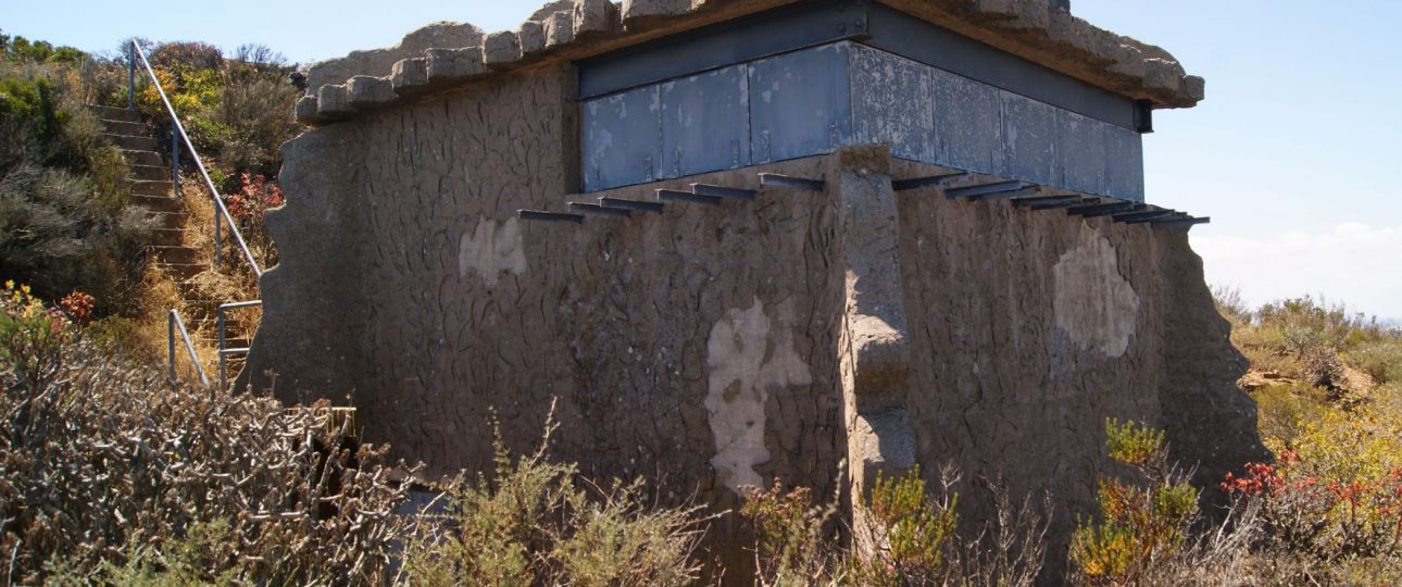
Trip to Elandsbaai radar station, and looking at the history of these WW2 structures.
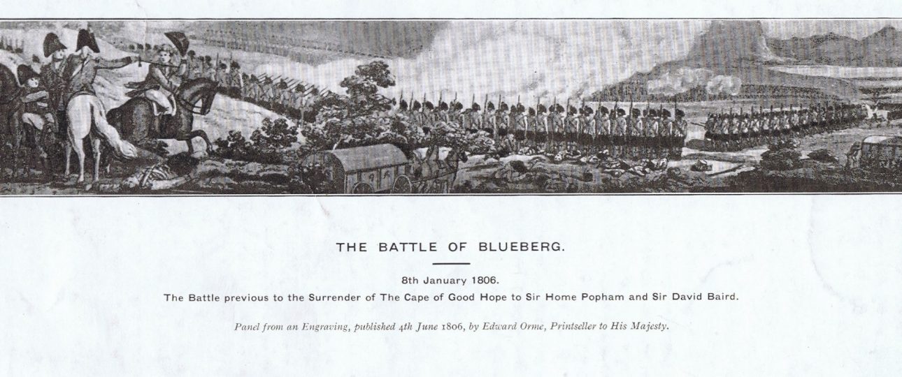
On the 4th January 1806 the lookout stationed on Signal Hill spotted sails appearing over the horizon and immediately sent a message to General Jan Willem Janssens in Cape Town of the approaching flotilla. The fleet had been expected after two French ships, the Atlanta …
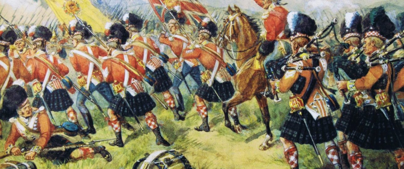
Advance of the 93rd Regiment at Battle of Blaauwberg 8th Jan 1806. Painting held at RHQ, Argyll & Sutherland Highlanders, Stirling Museum.
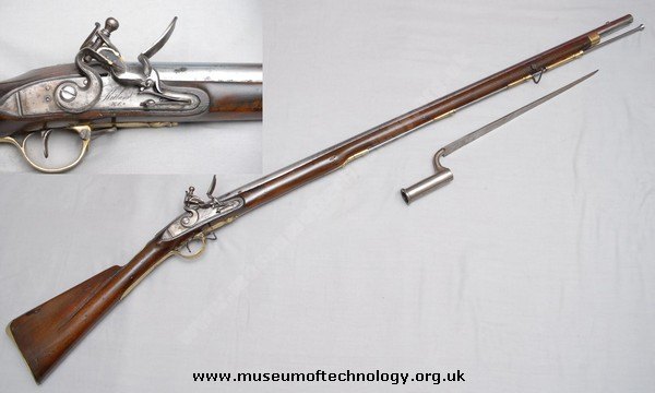
When taking my tours around the battlefield, one of the parts that always gets comments is when I explain the operation of loading and firing a muzzle loading musket. This involves a number of stages and from this comes a number of English idioms that …
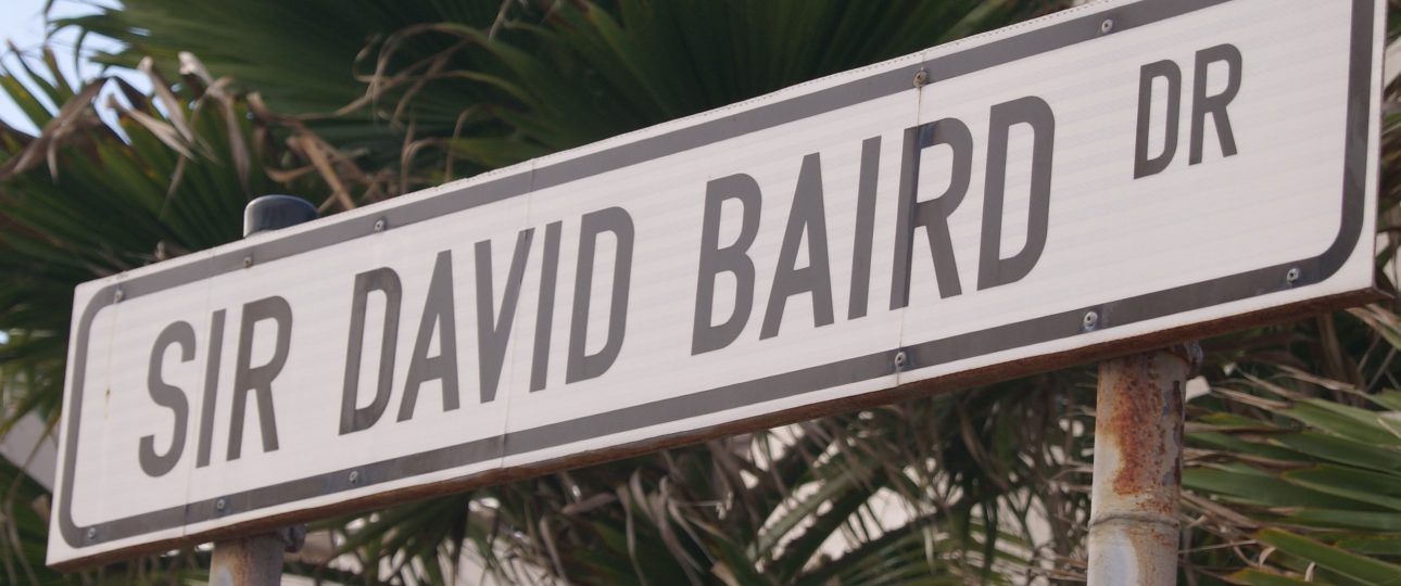
For most people the name of a street is there just to give directions or just the name of the road where they live. Large main roads can easily be identified due to their historical location, Old Paarl Road and Koeberg Road can be understood …
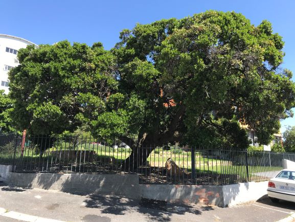
On the 10th January 1806, the treaty between the Batavian and British forces was signed at a small cottage in Woodstock, Cape Town. This treaty ended the occupation of the trading post by the Dutch and allowed the invading forces from Great Britain to stay …